backinblue
Guru
- Joined
- Jan 29, 2019
- Messages
- 3,938
- Location
- USA
- Vessel Name
- Blue Moon
- Vessel Make
- Mainship Pilot 355
Does that mean we are done discussing? I suggested that about 20 posts ago! LOL. But at least you got what you were looking for.
Does that mean we are done discussing? I suggested that about 20 posts ago! LOL. But at least you got what you were looking for.
From my original post on the subject:The link also discusses the chances of getting hit being 3 times greater on a larger boat versus smaller boat. Also east coast boats 10X more likely to be hit. Look at the bigger picture.
In the Southeast, the chances of lightening are far greater than in the PNW for example.
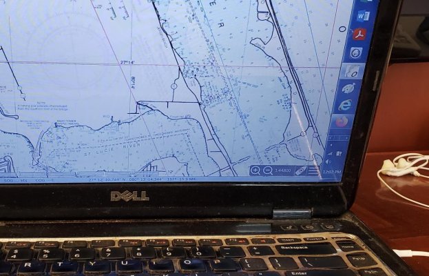
What if you had a screen the same size as the paper chart, would it still be better with paper?
For instance on a 4x3 foot (approx) chart CHS3001 I can see all of Vancouver Island, the outside offshore and all the inside passages.
Without the right programs, I am not a fan of vector charts...but becuase USA rasters are identical to paper (and free)...and they can be transferred from machine to machine...and they have all the same info on them (including compass roses)...and once you get used to them even without GPS input......
Well..... as a person with 2 careers requiring navigation skills...I am content...
Paper charts are no longer going to be printed by the US Government because they are archaic and are out of dates when printed.
Since 2016 the IMO has required e-navigation.
https://www.imo.org/en/OurWork/Safety/Pages/eNavigation.aspx
The e-navigation concept is governed by IMO as the organization responsible for establishing mandatory standards for enhancing the safety of life at sea, maritime security and protection of the marine environment, as well as having global remit for shipping.
The Organization defines e-navigation as "the harmonized collection, integration, exchange, presentation and analysis of marine information on board and ashore by electronic means to enhance berth to berth navigation and related services for safety and security at sea and protection of the marine environment."
I’ve been thinking about that. It wouldn’t be too difficult to take a 40” or larger TV and lay it flat. It would probably work better if it were a touchscreen or if you installed an overlay and used a stylus.
That’s one thing I love about paper charts - working flat, especially on a rolling boat.
")
Personally I would rather have an outdated paper chart on board as my back-up than nothing. Just as I would rather have out of date flares, liferaft etc, than none. I will not rely on those outdated items for any purpose unless they are needed.
I have near zero concern about electronics' failure - I have backup PCs, phones, tablets, GPSs, more electronics than a space shuttle.
But I prefer paper charts for planning. Same for long road trips where I carry an atlas. There is a lot of information on a chart/map that is not captured on an electronic screen. I find it easier to develop context and identify patterns. Electronic charts are great for pinpoint navigation. Paper charts are good for situational awareness. Electronic charting will tell you that you are 35.3 nms from a waypoint. Paper charts will tell me I should be able to see a landmark or feature.
For me, two different tools with different strengths. Suggest buying a paper chart of your area for your wife and read the fine colored text and the features highlighted. There's a reason they are attractive sheets of paper. There's an amazing amount of data embedded.
Peter
It's easier to plan using paper charts because you can see the big picture, not just a small section from the electronic charts. I also like to follow our track using the paper chart in case the electronics fail. We have 2 Garmin chartplotters and an iPad Pro running Navionics and Aqua Map. We also have an AIS transceiver and an inReach tracker so our family and friends can follow our progress.
Has anyone mirrored a MFD to an onboard TV as info / entertainment for guests aboard?
No expectation of actual use other than providing "you are here" type info for any/all aboard that might have a casual interest but not enough to spend much time in the pilot house or near the helm.
I’ve been thinking about that. It wouldn’t be too difficult to take a 40” or larger TV and lay it flat. It would probably work better if it were a touchscreen or if you installed an overlay and used a stylus.
That’s one thing I love about paper charts - working flat, especially on a rolling boat.
Has anyone mirrored a MFD to an onboard TV as info / entertainment for guests aboard?
No expectation of actual use other than providing "you are here" type info for any/all aboard that might have a casual interest but not enough to spend much time in the pilot house or near the helm.

"Same as if China suddenly shoots down our gps satellites."
There is no need to "shoot down" a satellite , simply popping off a small nuke will shut down non military GPS , and probably most communication and power delivery systems.
Look it up, could be a real return to the dark ages.
Most of mine are rather dated but most are in areas that change little if at all. The granite in Georgian Bay changes very little.
The charts we use frequently are NY & Canadian Canal systems. I also borrowed and used daily the Georgian Bay Small Craft Charts. I would not do any of those areas without charts but I always have echarts up and running at the helm. The paper provide the big picture and as I mentioned are convenient for my mate to be viewing and watching. If there is any question on discrepancy we stop & compare notes. I do recall one instance were Navionics showed a different preferred route than paper and we stopped to review. It turned out both options were acceptable and paper were the official marked channel but Navionics showed a shorter route which was also very navigable.
If cruising new areas or ones I get to infrequently I'm a planner so always work ahead off line with paper.
I'm sure this is a function of how I learned to navigate. I frequently work out waypoints off line, check my work then enter them into my MFD and again cross check the resulting routes.
I found the Great Lakes Cruising Club charts and info very helpful when we cruised Georgian Bay. Although they have all their info in eformat I printed areas of interest and found looking at the print easier than laptop. Their info is most useful in areas with no nav aids and are very localized as in how to enter a restricted Anchorage and show more info than any echart at any zoom level contains.
But traditional charts are a great achievement in maritime history, and your knowledge is just that much broader and deeper if you can comfortably plot a route on paper. --Thanks, all
At least for me no intention to put anyone down.And the old wood burning kitchen stove was a great achievement. The fact one doesn't choose to plot on paper doesn't meant they can't nor that their knowledge isn't just as broad and deep as those who do. Why does either group feel the need to put the other down?
At least for me no intention to put anyone down.
With that said I have to say on AVERAGE I find a higher level of incompetence with those that have never bothered with paper and believe electronics is all thats necessary vs those that have used paper and don't bother (much) with electronics.
They are both beneficial and have their place IMO but the screen can be a crutch that hinders learning for some
I think that is such a broad generalization as to be nothing but dangerous. It fails to take experience into consideration and even things like age and when trained. It would be like me saying those who started with paper charts are less skilled with electronics. True for some, false for some.
One problem I see here is those trained 40 years ago vs those trained 10 years ago. Also, those only using for recreational purposes vs those using commercially or even in the military.
As to your generalization, I don't fault any users of paper, but I do firmly believe all that is needed is electronics so I fit into your higher level of incompetence on average group from above and I don't appreciate that, nor believe it. 500 Ton Master, nearly 150,000 nm. I know how to use paper. I know how to use a sextant. There are commercial Captains here with far more experience than me and recreational with far more hours of boating.
I don't grasp why preferring paper or preferring electronics automatically makes one superior.
Wifey B: And an out of date perspective.