cardude01
Guru
- Joined
- Nov 26, 2012
- Messages
- 5,290
- Location
- USA
- Vessel Name
- Bijou
- Vessel Make
- 2008 Island Packet PY/SP
One of my sons and I are going to make the drive from Texas to Stuart to move the boat up to Jacksonville next week Monday. She is sitting at the very basic and unprotected boatyard marina where I got the mast replaced, and that’s not where I want to leave her during hurricane season. We have a slip arranged at the Marina at Ortega Landing.
I’m a pretty big covid19 worrier, so our plan is to drive non stop (other than for gas) to Stuart, about 18 hours. We will bring our own food for the drive and for provisioning for the boat trip so we won’t have to visit any grocery stores in Stuart. We have been using our local H-E-B curbside service so have not been inside a store in 8 weeks or so. We won’t go inside any gas stations, bathrooms, restaurants, etc.
Menzies posted up this itinerary back when he offered to do the move for me. I was wondering if I could do the trip because of my appendix fiasco, but I seem to be healed up now.
“10 hour days, 6kts motoring - 60 km per day.
Stuart is at MM ~985.
Day one end ~ 925. - anchor around Melbourne MM 918.
Day two end around MM 860 is a bit trickier as that run takes you to the more open mosquito lagoon anchorages, or stop short at Titusville. Can anchor by the mooring balls there.
Day three, Absolutely Palm coast Marina at MM 803.
Day four, Palm Cove Marina or Beach Marine in JAX Beach at MM 747.
Day five, Ortega Landing or other marina depending on where you have booked.”
I would like to skip marinas on the way up to Jacksonville and just anchor out if possible to increase our social distancing. Any good anchor spots to sub the marinas on this itinerary?
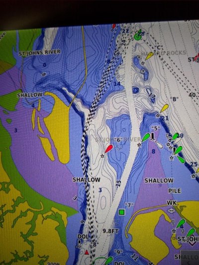
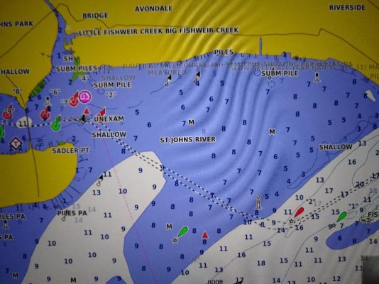
Also, I was reading an old thread (from 2018 I think) about the approach from the ICW to the St Johns River being tricky. Something about the removal of a jetty and lots of current and the charts being off and confusing markers. Is that’s still the case?
We are renting a car from Enterprise here Victoria and will turn it in at Stuart. Will wipe it down and fumigate and leave it out in the sun to hopefully disinfect it before we start our trip. Will rent a car in Jax to return home, and also disinfect it well, hopefully. This saves me having to return to Stuart, and my old Tahoe with 175k miles kind of worries me. In normal times I would take it, but if I break down during all this Covid mess that opens up too many cans of worms.
The main reason I don’t want to infect myself (other than I don’t want to get sick!) is that my wife takes care of her dad and he’s not in great health, so I can’t afford to infect her.
I just realized I made all these plans without checking the weather in Florida. Hoping that since staying inside on the ICW I will be OK?
Edit: just check the weather and looks like rain almost every day next week. Oh well, guess I can check for mast leaks after the repair. [emoji30]
I’m a pretty big covid19 worrier, so our plan is to drive non stop (other than for gas) to Stuart, about 18 hours. We will bring our own food for the drive and for provisioning for the boat trip so we won’t have to visit any grocery stores in Stuart. We have been using our local H-E-B curbside service so have not been inside a store in 8 weeks or so. We won’t go inside any gas stations, bathrooms, restaurants, etc.
Menzies posted up this itinerary back when he offered to do the move for me. I was wondering if I could do the trip because of my appendix fiasco, but I seem to be healed up now.
“10 hour days, 6kts motoring - 60 km per day.
Stuart is at MM ~985.
Day one end ~ 925. - anchor around Melbourne MM 918.
Day two end around MM 860 is a bit trickier as that run takes you to the more open mosquito lagoon anchorages, or stop short at Titusville. Can anchor by the mooring balls there.
Day three, Absolutely Palm coast Marina at MM 803.
Day four, Palm Cove Marina or Beach Marine in JAX Beach at MM 747.
Day five, Ortega Landing or other marina depending on where you have booked.”
I would like to skip marinas on the way up to Jacksonville and just anchor out if possible to increase our social distancing. Any good anchor spots to sub the marinas on this itinerary?
Also, I was reading an old thread (from 2018 I think) about the approach from the ICW to the St Johns River being tricky. Something about the removal of a jetty and lots of current and the charts being off and confusing markers. Is that’s still the case?
We are renting a car from Enterprise here Victoria and will turn it in at Stuart. Will wipe it down and fumigate and leave it out in the sun to hopefully disinfect it before we start our trip. Will rent a car in Jax to return home, and also disinfect it well, hopefully. This saves me having to return to Stuart, and my old Tahoe with 175k miles kind of worries me. In normal times I would take it, but if I break down during all this Covid mess that opens up too many cans of worms.
The main reason I don’t want to infect myself (other than I don’t want to get sick!) is that my wife takes care of her dad and he’s not in great health, so I can’t afford to infect her.
I just realized I made all these plans without checking the weather in Florida. Hoping that since staying inside on the ICW I will be OK?
Edit: just check the weather and looks like rain almost every day next week. Oh well, guess I can check for mast leaks after the repair. [emoji30]
Last edited:


")